607 Halsey
The neighborhood
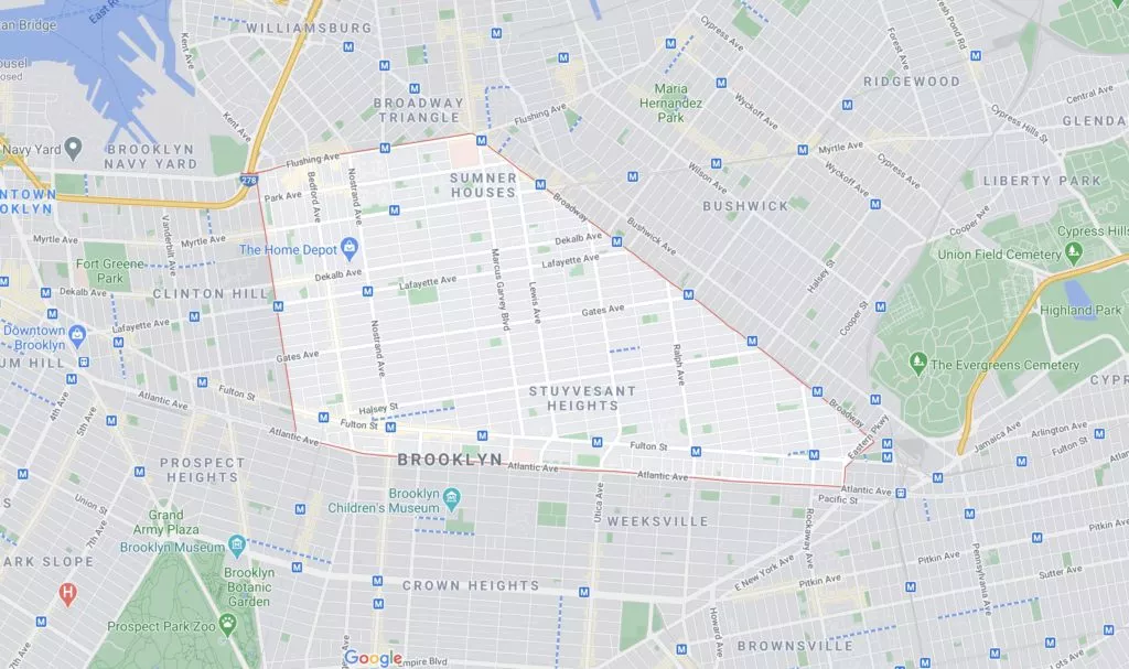
As we learned about the house, we also started reading about Bedford-Stuyvesant. These are a few parts of the neighborhood’s history we’ve been exploring.
1600s
Two names, one neighborhood
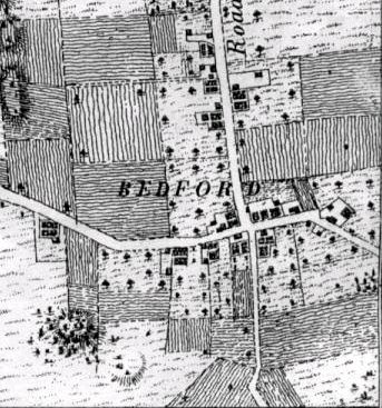
Bedford-Stuyvesant combined two once-separate places. Bedford began as a 17th-century hamlet named for Bedford, England, while Stuyvesant Heights later took its name from Peter Stuyvesant, the last governor of New Netherland.
Much of the present neighborhood was once farmland held by Dutch settlers, among them Dirck Janse Hooghland, Jan Hansen, and Leffert Pietersen van Haughwout. Bedford developed first, east of the Village of Brooklyn, while Stuyvesant Heights remained more rural until after the American Revolution.
1800s
Roads, farms, and Bedford Corners
Before Brooklyn's street grid, the area was rural Kings County. Dutch settlers farmed the land, and Bedford became an important stop along routes linking the Brooklyn ferry with Jamaica and eastern Long Island. Bedford Corners, near today's Bedford Avenue and Fulton Street, sat at the center of that movement.
The Brooklyn and Jamaica Turnpike, chartered in 1809, followed the line of today's Fulton Street and carried farmers from New Lots and Flatbush toward Manhattan. In 1800 Bedford became one of the Town of Brooklyn's seven districts; in 1834 it became part of the newly incorporated City of Brooklyn.
1870s-1890s
The brownstone blocks take shape
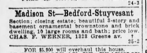
Brooklyn mapped the present grid in the 1830s, and the neighborhood changed quickly after the Civil War. By the 1870s, masonry row houses began replacing farmland. In the 1880s and 1890s, builders filled Stuyvesant Heights with the brownstone blocks, tall windows, and high ceilings that still define the district.
Much of Stuyvesant Heights was built between 1870 and 1920. The original historic district was designated in 1971. The expanded district, designated in 2013, includes roughly 825 buildings and more than doubled the protected area. Read about the historic districts.
1940s-present
A center of Black Brooklyn
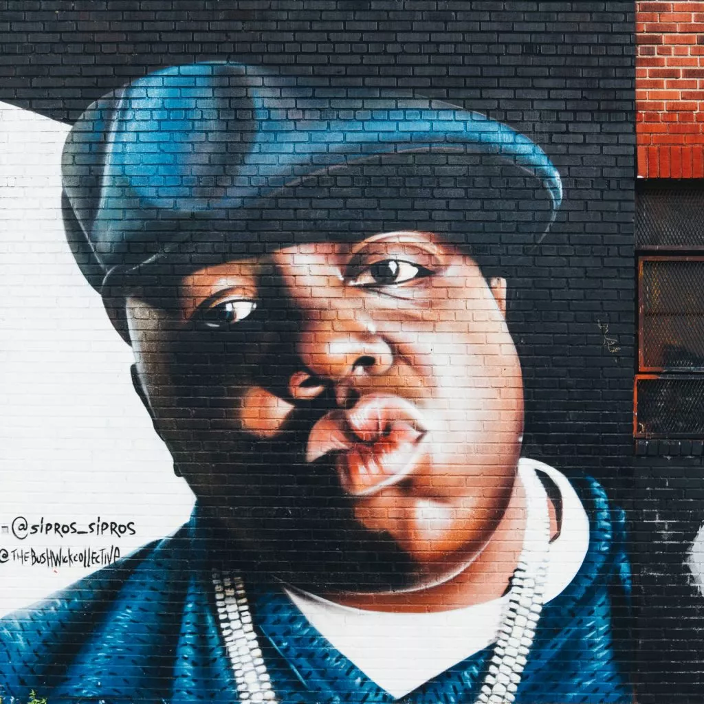
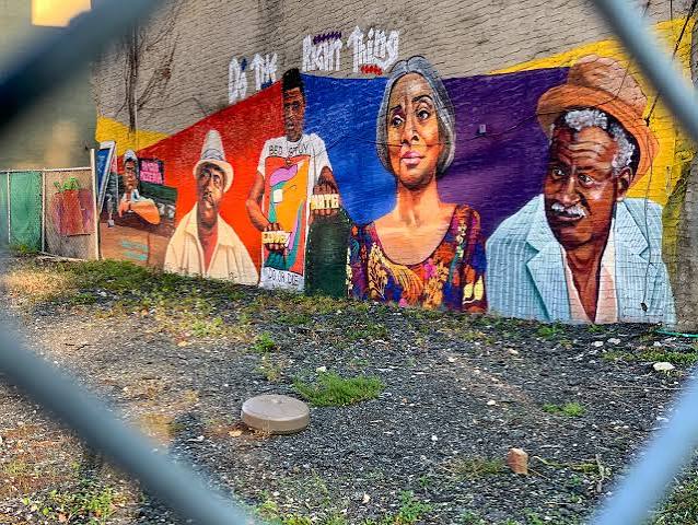
During and after World War II, Black families arriving from the South and the Caribbean helped make Bedford-Stuyvesant a center of Black life in Brooklyn. The neighborhood’s churches, businesses, music, block associations, and public art reflect that history.
Black history in the area reaches back much further. Nearby Weeksville was founded by free Black New Yorkers in the 1830s. Read more about this history.
In the 1940s, wartime jobs, housing pressures, and families moving from Harlem helped make Bedford-Stuyvesant New York City’s second-largest Black neighborhood by the end of the decade. Read more about the Great Migration in Bed-Stuy.